Facts About Hatteras Island You May Not Have Known
North Carolina’s Outer Banks are a 200-mile-long span of barrier islands off the U.S. East Coast, and Hatteras Island makes up a fairly good portion of it, at the southern end of the chain. Here are a few more fun facts about Hatteras that you may have missed!
There’s more to Hatteras Island than just Hatteras
Seven "villages" make up Hatteras Island in Dare County: Rodanthe, Waves, Salvo, Avon, Buxton, Frisco, and Hatteras.
The secret to our sunsets and water sports
Hatteras Island rests between the Atlantic Ocean and the Pamlico Sound, making for unique water sports experiences and extraordinary sunsets - especially at Cape Point in Buxton, one of the top surf fishing, windsurfing, and kiteboarding destinations on the East Coast.
Peaceful seclusion rests between the inlets
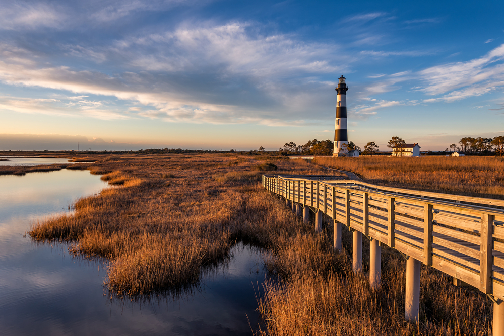
The Oregon and Hatteras Inlets provide additional distance from the mainland and the remaining barrier islands of the OBX for a truly secluded feel. The Oregon Inlet has long been monitored by the Bodie Island Lighthouse.
Reaching new heights in history
The first lighthouse at the Cape was built in 1803; it was replaced by the current Cape Hatteras Lighthouse in 1870. This is the tallest lighthouse in the U.S., measuring 198 feet from the foundation to the top of the tower.
What’s behind a name?
The Haulover Day Use Area (nestled between Avon and Buxton) is one of the narrowest parts of the state's coastline - less than 150 yards wide. The area earned its name due to the common practice of vessels bottoming out and being hauled over the strip of land on the path to Ocracoke Inlet and Ocracoke Island in the 1700s-1800s.
The first seashore worthy of designation
Half of Hatteras Island is pristine and undeveloped, including much of Cape Hatteras National Seashore - the first officially established national seashore, and a great place for shelling!
A wildlife scavenger hunt of sorts
365 - Not days! It's the # of species of birds that have been identified at the Pea Island National Wildlife Refuge, located on the north end of Hatteras Island.
Summer swells
Speaking of the residents… When it comes to the human variety, the island’s population grows exponentially in the summer, from less than 5,000 in the off-season to ten times that amount each week at the height of peak season!
Dark history makes for unique exploration
Located just off the shores of Hatteras Island, The Diamond Shoals are a cluster of shifting, underwater sandbars responsible for up to 600 shipwrecks and the resulting regional nickname of the Graveyard of the Atlantic.
A sinking feeling in 1912
On a somewhat related note, Hatteras has a pretty epic connection to another ill-fated ship! In 1912, the United States Weather Station in Hatteras Village received the original distress telegraph from the Titanic advising them that the ocean liner was sinking.
We’re worthy of a Presidential jig
There is no shortage of history associated with the island, including some of the first Union victories in the Civil War that were rewarding enough to cause President Abraham Lincoln to rise from his slumber and do a little dance!
Among the best beaches
Hatteras beaches have been ranked among the top in the nation by The Travel Channel, CNN, and Forbes.
Want a closer look at Hatteras? See our handy Hatteras guide!
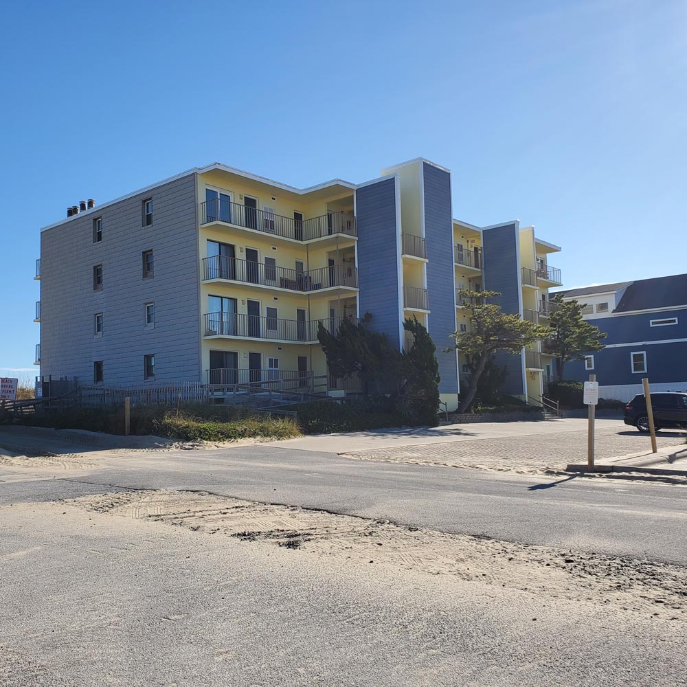
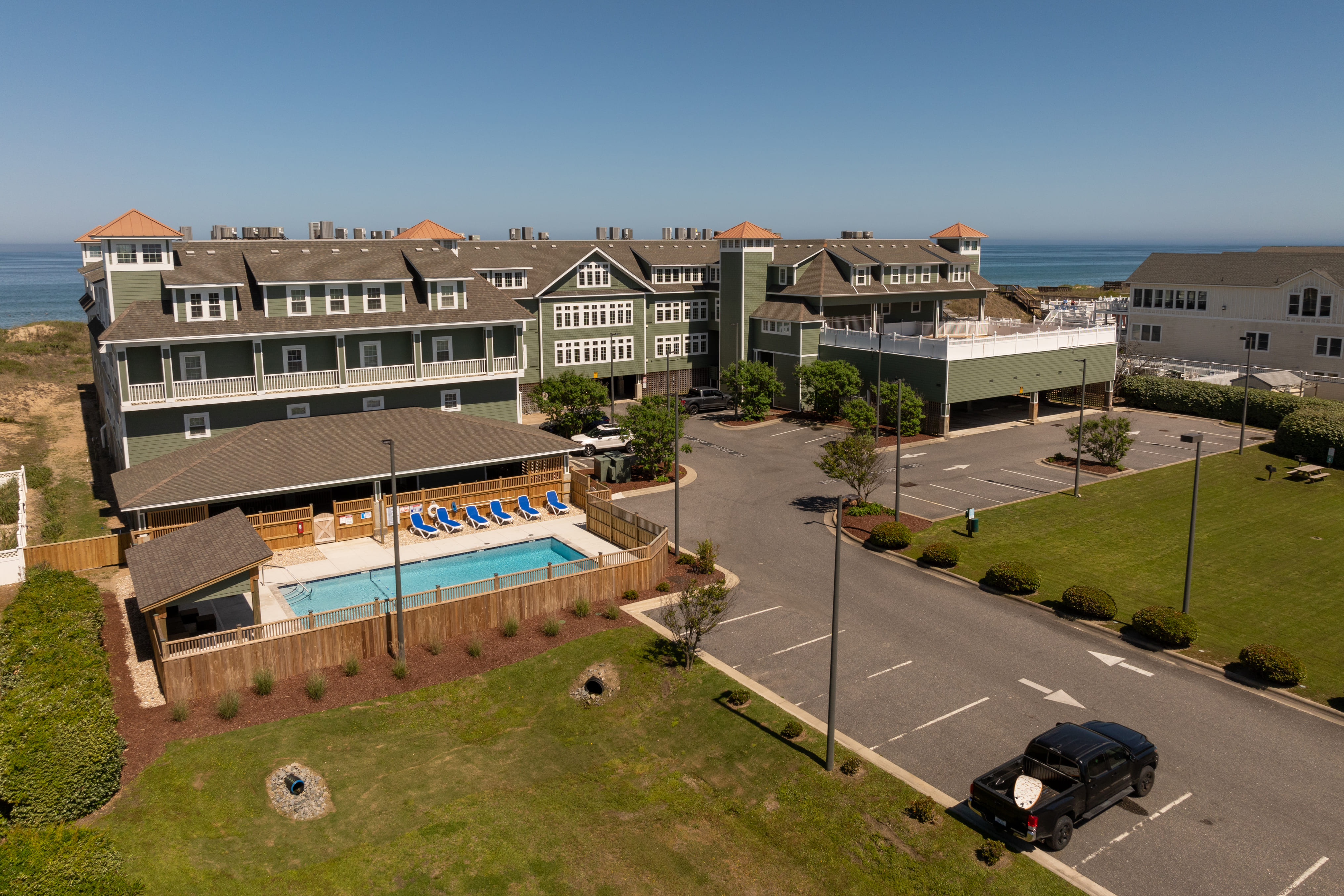
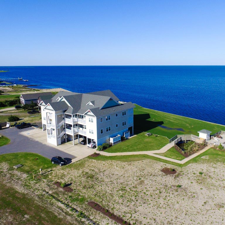
If you're looking for the ultimate Hatteras Island experience, you'll love our vacation rentals in the communities of Waves Village Resort and Rodanthe Sunset Resort. Find out more about these resort properties - ideal for watersports enthusiasts and families in search of a classic beach getaway.
Posted on 03/20/2025 in Area Information


