Where Are The Outer Banks?
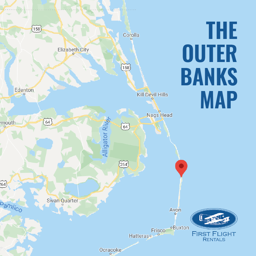
As an intern at First Flight Rentals, I found myself asking, “what are the Outer Banks?” what is technically considered the start and finish of the Outer Banks?
After divulging between different maps of the outer banks there are a few different ideas of what is considered the Outer Banks and what is not.
Firstly, according to wiki The Outer Banks are barrier islands off the coast of the U.S. state of North Carolina, separating the Atlantic Ocean from the mainland. Commonly referred to as “OBX” or the 252! According to Outerbanks.com, the Outer Banks is a “130-mile stretch of barrier islands just off the coast of North Carolina.” They also said that the towns of Kitty Hawk, Kill Devil Hills, Nags Head are more populated, followed by, on Hatteras Island in the south. Along the main stretch of the outer banks, you will also run into the town: Rodanthe, Waves, Salvo, Avon, Buxton, Frisco, Hatteras: one road leads to them all. This road is well named “beach road” and connects all of the towns together. Top attractions in the outer banks include: Wright Brothers Memorial, Jockeys Ridge state park, and Lighthouse (Bodie Island, Cape Hatteras Island).
With a total of 10 major towns/ cities and smaller ones in between, it seems as though the outer banks are large but also quite quaint lighthouses and its own culture. Ranging from Corolla to Ocracoke and everything in between we make up what is referred to as “the outer banks.”
What is commonly mistaken as the Outer Banks are the southern North Carolina beaches, this includes: Cape Fear, Wilmington, Kure Beach, Carolina Beach, Topsail Island, and Emerald Island. These are not a part of the outer banks. 😊
Posted on 02/12/2020 in Area Information

